Zoe Bauer · 17 September 2026
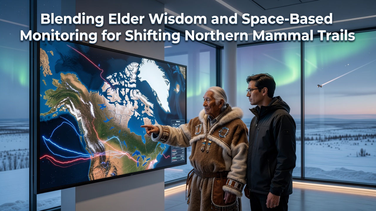
Blending Elder Wisdom and Space-Based Monitoring for Shifting Northern Mammal Trails
Northern mammal trails have undergone measurable shifts in recent decades as caribou herds, moose populations, and wolf packs adjust routes across tundra and boreal zones. Researchers combine oral histories from indigenous elders with satellite datasets to document these changes. Data from orbital sensors track snow cover duration, vegetation green-up dates, and river ice breakup patterns that influence animal movement corridors.
Documented Shifts in Migration Patterns
Caribou herds in the Northwest Territories have altered crossing points along the Mackenzie River since the early 2000s, according to records maintained by Environment and Climate Change Canada. Elders from communities along the river describe earlier spring crossings and new detours around areas where permafrost slumps have widened channels. Satellite observations from Landsat and Sentinel-2 missions confirm reductions in ice thickness and increases in open water periods during April and May.
Moose in northern Alberta and British Columbia show similar adjustments. GPS collar data paired with elder accounts indicate that animals now favor higher-elevation slopes during summer months where forage remains accessible longer. These patterns align with vegetation indices derived from MODIS instruments that register delayed leaf senescence in certain watersheds.
Contributions from Indigenous Knowledge Systems
Elders maintain detailed mental maps of trail networks passed across generations. These maps record seasonal timing, preferred river crossings, and responses to weather events such as heavy snow years or extended thaws. In September 2026, a collaborative workshop in Yellowknife compiled elder observations from the previous two decades with multi-year satellite archives, revealing consistent correlations between reduced lake ice duration and changes in wolf pack territories.
Community mapping sessions convert spoken descriptions into geospatial layers. Participants identify specific landmarks where trails have deviated, then researchers overlay corresponding satellite imagery to quantify the spatial displacement. This process produces datasets that capture both the timing and location of route changes with greater precision than either source provides alone.
Satellite Technologies Supporting the Work
Radar satellites penetrate cloud cover common in northern latitudes, delivering consistent measurements of snow water equivalent and ground freeze-thaw cycles. Optical sensors supply high-resolution images of vegetation productivity along established corridors. Combined products allow analysts to model how forage availability and terrain accessibility interact to redirect animal movement.
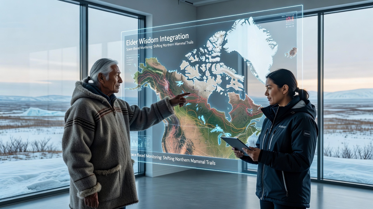
Projects funded through the European Space Agency's Earth Observation programs supply freely accessible archives that researchers integrate with local knowledge bases. These datasets extend back to the late 1990s in many regions, providing temporal depth that matches the multi-generational scope of elder testimony.
Integration Methods and Outcomes
Analysts convert elder descriptions into time-stamped geographic points, then match these against satellite-derived environmental variables. Statistical models identify which factors, such as earlier snowmelt or altered river hydrology, best explain observed trail displacements. Results feed into wildlife management plans that adjust harvest zones and protected area boundaries accordingly.
One documented outcome involves the Porcupine caribou herd. Integration of Gwich'in elder knowledge with vegetation productivity maps led to refined predictions of fall migration timing, improving the accuracy of aerial survey scheduling conducted by territorial agencies. Similar approaches have been applied to barren-ground caribou ranges in Nunavut where satellite data now inform community harvest calendars.
Future Monitoring Developments
New satellite missions scheduled for launch after 2026 will increase revisit frequency over high-latitude zones. Higher-resolution radar instruments promise finer detection of trail surface conditions. Ongoing partnerships between indigenous organizations and space agencies continue to expand the geographic coverage of combined datasets, supporting adaptive management across broader portions of the circumpolar region.
Conclusion
Blending elder wisdom with space-based monitoring supplies a practical framework for tracking northern mammal trail changes. The approach links long-term observational records with quantitative environmental measurements, producing actionable information for wildlife conservation and community planning across northern landscapes.