Dana Keller · 29 October 2026
Northern Settlements Integrate Ancestral Observations with Satellite Analytics to Project Extreme Polar Storms
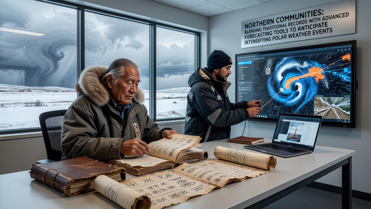
Northern settlements have long maintained detailed records of weather patterns through oral histories, seasonal markers, and handwritten logs passed across generations, yet intensifying storms now demand integration with satellite analytics and numerical modeling systems. Communities in regions such as Nunavut and northern Scandinavia combine these legacy datasets with real-time atmospheric readings to improve lead times for extreme events that include rapid temperature shifts and prolonged blizzards.
Traditional Knowledge Forms the Baseline
Observers note that elders in many Arctic villages have tracked indicators including ice thickness changes, animal migration timings, and cloud formations for centuries, creating datasets that span multiple decades before modern instrumentation existed. These records reveal recurring cycles of severe weather that align with contemporary measurements from weather stations installed since the mid-twentieth century. Researchers cross-reference oral accounts of specific storm events from the 1800s with archival documents to establish baseline frequencies, which then feed into statistical models that adjust for current warming trends.
One study conducted across several Canadian Arctic communities demonstrated how such historical entries helped identify previously undocumented correlations between certain wind directions and multi-day whiteout conditions. Data compiled over generations allowed analysts to refine probability estimates for events that numerical models alone tended to underestimate when relying solely on post-1950 observations.
Advanced Forecasting Systems Add Precision
Satellite networks operated by agencies including the National Oceanic and Atmospheric Administration supply continuous imagery of sea ice extent and atmospheric pressure fields, while ensemble prediction models run by meteorological services generate probabilistic outputs for wind speeds and precipitation amounts. These tools operate at resolutions that capture localized features such as coastal polynyas and mountain-induced turbulence, details that complement the broader patterns preserved in traditional accounts. In October 2026, updated model runs incorporated additional buoy data from the Beaufort Sea and produced extended-range forecasts that aligned closely with observed storm tracks.
Integration Methods Yield Improved Outcomes
Collaborative projects merge the two information streams through joint workshops where community members validate model outputs against remembered conditions from past decades. Software interfaces now display traditional markers alongside quantitative variables, allowing forecasters to adjust parameters when satellite readings conflict with long-term local observations. Such hybrid approaches have extended reliable warning periods by several hours in test cases reported from northern Norway and Alaska.
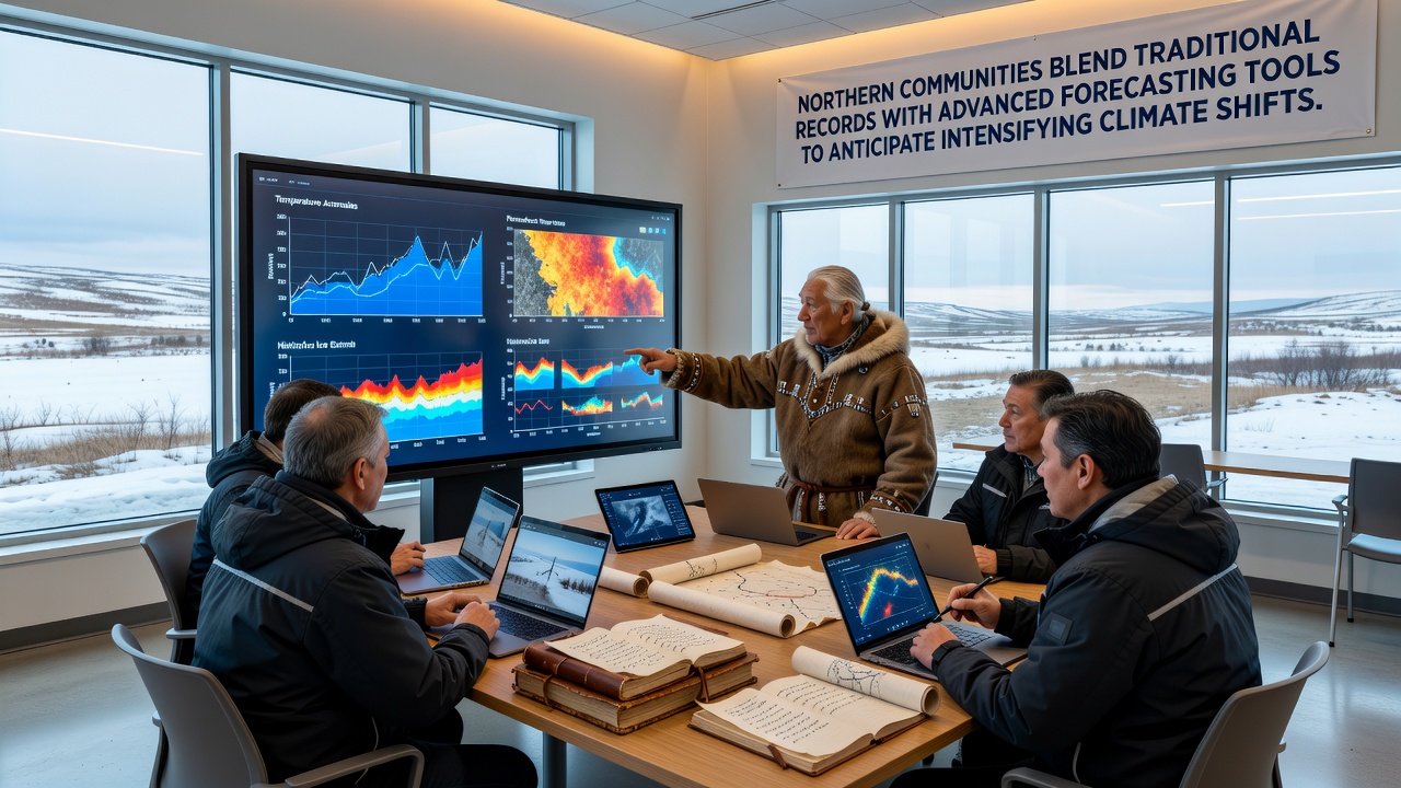
Canadian government meteorological offices have begun incorporating selected elder observations into their operational databases after verifying consistency with instrument records over overlapping time periods. Similar efforts supported by European Union research programs focus on Svalbard and Greenland, where local logs help calibrate radar systems affected by extreme cold. The combined datasets reduce false alarms for certain wind events while increasing detection rates for rapid-onset blizzards that pure model runs sometimes miss.
Regional Examples Illustrate Practical Application
In one Alaskan community, historical accounts of autumn freeze-up timing guided the placement of additional automated weather stations, resulting in better initialization data for regional forecast models during the critical transition season. Finnish meteorological researchers working with Sami communities have documented how reindeer herder observations of snow density improved parameterization of surface energy fluxes in their numerical weather prediction systems. These adjustments produced measurable gains in forecast accuracy for temperature extremes during winter months.
Studies published through research institutions indicate that communities using blended methods experience fewer weather-related disruptions to travel and subsistence activities, because warnings now account for both large-scale atmospheric dynamics and localized terrain effects preserved in traditional knowledge.
Challenges in Data Compatibility Remain
Format differences between narrative descriptions and digital grids require specialized translation protocols, while gaps in historical coverage demand careful statistical handling. Yet ongoing projects demonstrate that iterative comparison between the two record types steadily improves overall reliability. Government agencies across multiple Arctic nations continue to expand these partnerships, recognizing that neither source alone captures the full range of variability now observed in polar weather systems.
Conclusion
Northern communities continue to refine methods that draw on both ancestral records and contemporary forecasting infrastructure, producing more robust projections for intensifying polar weather events. Continued expansion of these integrated systems depends on sustained collaboration between local knowledge holders and scientific institutions operating across the circumpolar region.