Willa Roth · 15 October 2026
Svalbard Sensor Networks Supported by European Funding Programs Monitor Atmospheric Changes Alongside Contributions from Local Historical Records
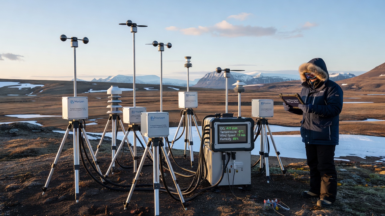
European programs have supported the deployment of extensive sensor networks across Svalbard since the early 2010s, with installations that measure temperature gradients, humidity levels, aerosol concentrations, and trace gas variations in the atmosphere. These systems operate continuously through remote stations positioned from coastal fjords to inland ice fields, transmitting data via satellite links to central processing facilities in mainland Norway and partner institutions. Data streams from these networks feed into larger climate models maintained by international consortia, while operators calibrate instruments seasonally to account for extreme cold and wind conditions typical of the archipelago.
Funding through initiatives such as Horizon Europe and earlier framework programs has enabled upgrades to power systems and sensor arrays, allowing coverage of previously undersampled zones. Researchers at participating universities coordinate maintenance schedules that align with summer field seasons, when access improves and equipment can undergo detailed inspections. Observers note that annual reports from these projects document steady increases in sampling frequency, now reaching multiple readings per minute at core sites.
Expansion of Monitoring Infrastructure
Installation campaigns in recent years have added lidar units and microwave radiometers alongside traditional weather stations, creating layered datasets that capture both surface and upper-atmosphere dynamics. European consortia allocate resources for redundancy, ensuring that single-point failures do not interrupt long-term records. Technicians replace components during brief windows of milder weather, and automated alerts notify teams when thresholds for temperature or power supply are crossed.
One project completed sensor grid extensions in 2025 that linked previously isolated valleys into a unified network, improving spatial resolution for studies of inversion layers and katabatic winds. Figures released by the coordinating body indicate that coverage now spans over 200 square kilometers of varied terrain, with each new node undergoing calibration against reference instruments before full integration.
Local Observers Contribute Historical Context
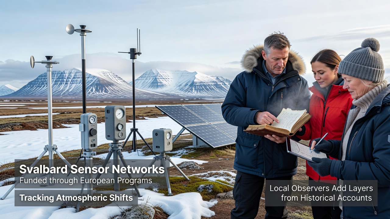
Residents and long-term field personnel in Svalbard maintain parallel records drawn from expedition logs, settlement diaries, and community archives dating back to the early twentieth century. These accounts describe ice conditions, fog patterns, and seasonal wind shifts that predate instrumented measurements, providing qualitative benchmarks against which modern sensor outputs can be compared. Archivists digitize selected entries and cross-reference them with quantitative data during joint workshops organized by research stations.
Local observers often note discrepancies between written descriptions of past storm intensity and current instrument readings, prompting additional analysis of sensor placement and calibration history. Such contributions appear in supplementary reports that accompany official datasets, adding temporal depth without altering raw numerical streams. Teams digitize handwritten notes from the 1920s through 1970s and align them with overlapping periods of early instrumental data where available.
Data Integration and Analysis Methods
Analysts combine sensor outputs with historical narratives using statistical techniques that weight qualitative observations according to source reliability and temporal overlap. Software tools developed under European grants allow researchers to flag periods where written records mention unusual atmospheric events, then examine corresponding sensor traces for corroborating signals. This approach has revealed previously unrecognized cycles in aerosol loading that align with descriptions of volcanic haze from distant eruptions recorded in ship logs.
Training programs hosted at Svalbard research bases teach participants how to interpret both data types, emphasizing consistent terminology when transcribing older accounts. Results from these efforts feed into peer-reviewed publications that present merged timelines spanning more than a century. In October 2026, project partners plan to release an updated public repository that incorporates the latest sensor streams and newly digitized archival material, expanding access for modelers outside the immediate consortium.
International Collaboration and Data Sharing
Partner institutions from multiple countries exchange standardized data formats through secure portals established under European program guidelines. Regular coordination meetings review sensor performance metrics and discuss adjustments to sampling protocols based on emerging atmospheric trends. European Commission research portals host summaries of these exchanges, while the Norwegian Polar Institute maintains the primary archive for raw measurements collected on Svalbard.
Joint publications list contributions from both sensor operators and local record keepers as co-authors when historical material forms a substantial part of the analysis. This practice ensures that community input receives formal recognition alongside technical outputs. Data repositories now include metadata tags that identify which sections derive from archival sources, allowing users to filter results according to their specific research needs.
Conclusion
Svalbard's sensor infrastructure, sustained by European funding streams, continues to generate high-resolution atmospheric records that researchers integrate with historical accounts supplied by local observers. The combined datasets support refined models of regional climate processes and extend observational baselines backward in time. Ongoing upgrades scheduled through 2026 and beyond aim to maintain continuity while expanding the geographic reach of measurements, with archival contributions remaining a core component of the analytical framework.